
You can read the KSHS article here:
http://www.kshs.org/cool2/coolmore.htm
This is a historical survey map of Neosha County in 1899.
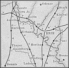
Morehead is south of Thayer within 10miles of the highway.
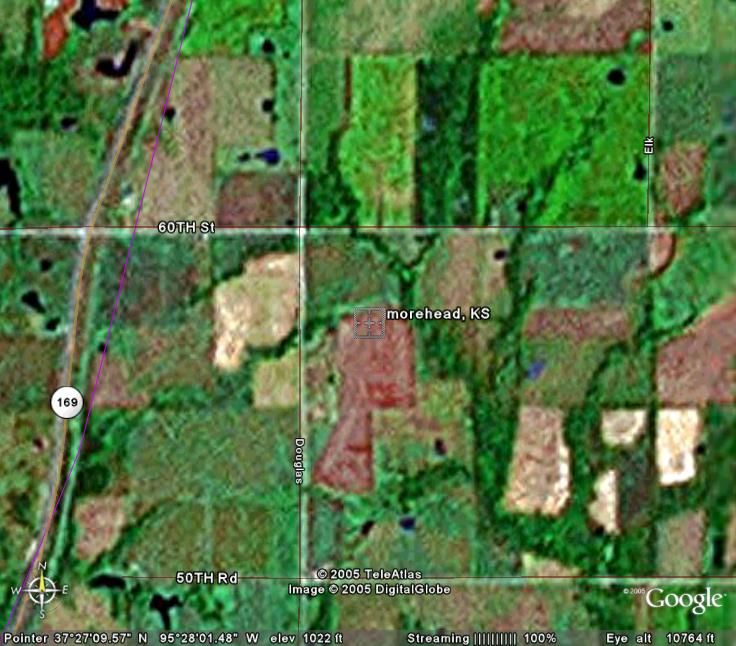
You can see Highway 169 marked by the yellow line in this Google Earth satellite image and the Railroad marked in purple. Morehead was filed in Neosho County, but its rail station in Labette County.
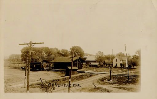
According to this image, the highway was not moved into Morehead and railstops ceased in 1930 (depression era).
I think the railway station will be found to be abandoned and I would imagine the KSHS would have left as much of Morehead in tact as they could.
This is way out of the way for pretty much anyone and could mean more than a day spent out in the field scouting for sites and exploring, but could be very fruitful.
Here is a mapquest map of the region (note chanute, KS just north of the location)
LINK!
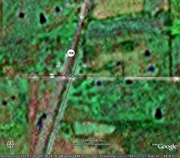
When you zoom out, you'll get directions from NE KS pretty easily, however, when I zoomed IN, I noticed that mapquest has Morehead about 6miles SW of the Google Earth spot, so I looked for the crossroads and zoomed in. This places the highway AND the railroad in close proximity of each other and within a mile or so of both. (this of course being 'city limits').
Here is the satellite image of the area marked by mapquest as the location of Morehead, KS.
Food for thought.
